Minami-Alps Interchange West Intersection
About the Minami-Alps IC Camera
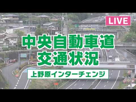
This is a municipal road camera at the intersection west of the Minami-Alps interchange, run by the city of Minami-Alps together with Fujikawa town. It covers the approach to the Chubu-Odan Expressway, which links the Kofu basin south towards Shizuoka and the Tomei.
Minami-Alps is an unusual place name in Japan, because it is written in katakana rather than kanji. The city took it in 2003 when six towns and villages merged, naming itself after the Southern Alps that rise immediately to the west, including Mount Kita, the second-highest peak in the country at 3,193 metres.
The valley floor here is orchard country, producing peaches and cherries, and the camera is mostly used for exactly what a road camera is for: checking whether the surface is wet or frozen, and how much snow has reached the lowlands when the mountains are already white.
Highlights & Nearby
- •Watch for: road surface and traffic at the interchange approach, lying snow in winter, the Southern Alps beyond the valley
- •Nearby: Chubu-Odan Expressway, the Kofu basin, Mount Kita and the Southern Alps, Fujikawa
- •Note: a road camera run by the city of Minami-Alps and Fujikawa town
Frequently Asked Questions
Is the Minami-Alps IC camera live?
Yes. It streams the intersection continuously.
What is this camera useful for?
Checking the road surface and traffic before driving, and judging how far snow has come down into the valley in winter.
Why is the city's name written in katakana?
Minami-Alps took the name in 2003 when six towns and villages merged, after the Southern Alps immediately to the west. It is one of very few Japanese cities whose name is not written in kanji.
Which mountains are nearby?
The Southern Alps, including Mount Kita at 3,193 metres, the second-highest mountain in Japan after Mount Fuji.