Route 36 And Sosei River In Sapporo
About the Route 36 Camera
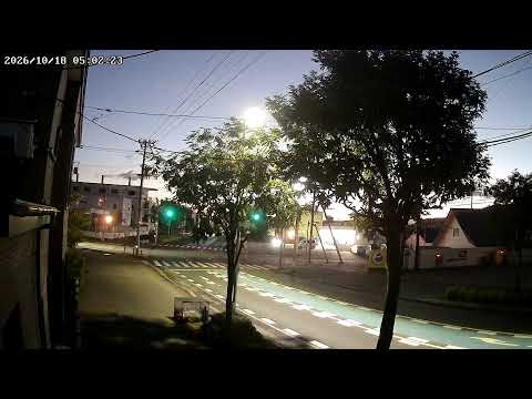
This camera looks over National Route 36 where it runs beside the Sosei River in central Sapporo. Route 36 is the main road south out of the city towards Chitose and Tomakomai, which makes it one of the busiest corridors in Hokkaido and the road most people take to reach the airport by car.
The Sosei River is not a natural watercourse. It was dug in 1866, before Sapporo existed as a city, to carry construction materials inland, and the grid the city was later laid out on was set from it. For decades it was the dividing line between east and west Sapporo, and the address system still counts outward from it.
The practical value here is winter. Sapporo takes around five metres of snow a season, and this stretch shows whether the carriageway is bare, wet, slushy or under packed snow, and whether the ploughs have been through. In summer the same view is a straightforward read on traffic.
Highlights & Nearby
- •Watch for: road surface and snow cover on Route 36, ploughing after a heavy fall, traffic through the day
- •Nearby: Susukino, Nakajima Park, central Sapporo, the Sosei River greenway
- •Note: Route 36 is the main road towards New Chitose Airport, so conditions here affect airport runs
Frequently Asked Questions
Is the Route 36 camera live?
Yes. It streams the road and the river continuously.
What is this camera useful for?
Reading the road surface before driving, above all in winter, when the difference between wet tarmac and packed snow decides how long a journey takes.
Is the Sosei River natural?
No. It was dug in 1866 to move construction materials inland, and Sapporo's street grid and address system were later set out from it.
Where does Route 36 go?
South from central Sapporo towards Chitose and Tomakomai, which makes it the usual driving route to New Chitose Airport.