
Shinjuku, Tokyo
About the Shinjuku Camera
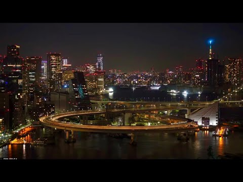
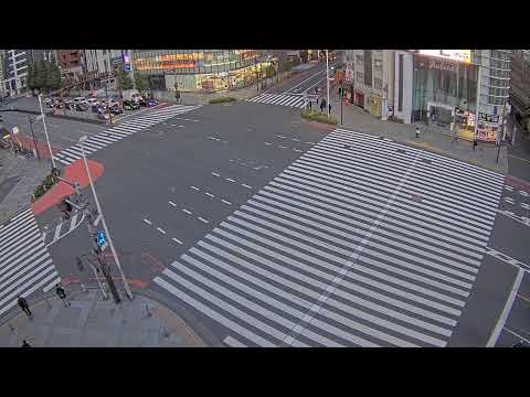
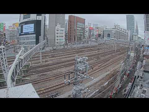
This camera covers Shinjuku, the district built around the world's busiest railway station. Well over three million people pass through daily, and that flow shapes everything about the area.
Shinjuku divides sharply either side of the tracks. The west is the high-rise office quarter that grew after 1971, anchored by the twin towers of the Tokyo Metropolitan Government Building. The east is retail and entertainment — department stores, Kabukicho, the narrow alleys of Golden Gai. Few districts anywhere change character so completely across a single station.
Its rise was largely a consequence of disaster. The Great Kanto Earthquake in 1923 devastated the low-lying eastern districts, pushing population and commerce westward onto firmer ground, and what had been a post town on the Koshu Kaido grew rapidly into a principal centre. Redevelopment around the station continues today.
Highlights & Nearby
- •Watch for: pedestrian flow, the west-side high-rises, commuter peaks, evening crowds
- •Nearby: Shinjuku Station, Tokyo Metropolitan Government Building, Kabukicho, Shinjuku Gyoen
- •Note: peaks are sharpest on weekday mornings and evenings
Frequently Asked Questions
Is the Shinjuku camera live?
Yes. Shinjuku in Tokyo streams live 24 hours a day.
What can I see on this camera?
Street-level activity in Shinjuku, pedestrian flow, the high-rise district and the commuter peaks.
What is the difference between east and west Shinjuku?
West is the high-rise office quarter anchored by the Tokyo Metropolitan Government Building. East is retail and entertainment, including Kabukicho and Golden Gai.
Why did Shinjuku become so important?
The Great Kanto Earthquake of 1923 devastated the low-lying eastern districts, pushing people and commerce west onto firmer ground. A former highway post town grew quickly into a major centre.