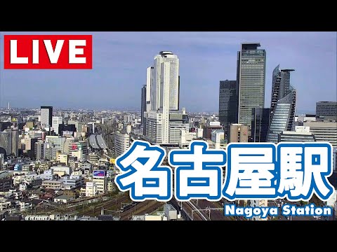
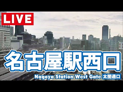
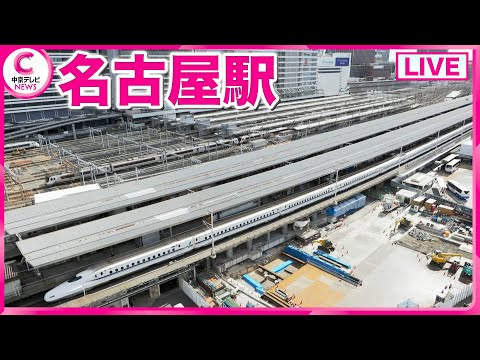
Tokai Region Live Cameras
About the Tokai Region Camera Feed
This stream is different from the single-location cameras elsewhere on the site. Nagoya TV, the TV Asahi affiliate for the region, runs a network of information cameras across the three Tokai prefectures and cycles through them on one feed.
The rotation covers Aichi, Gifu and Mie, which between them span a wide range of terrain: the Nobi Plain and the Nagoya conurbation, the mountains and river valleys of northern Gifu, and the long Pacific coastline of Mie down toward Ise and the Kii Peninsula.
Because the views change on a cycle, this feed works best as a regional overview rather than a way to watch one spot. It is at its most useful during typhoons, heavy snow in the Gifu mountains, or any weather event where the question is how conditions differ across the region.
Highlights & Nearby
- •Watch for: rotating views across three prefectures, regional weather contrasts, storm and snow conditions
- •Nearby: covers Aichi, Gifu and Mie, including Nagoya, the Nobi Plain and the Ise coast
- •Note: the feed cycles between camera positions rather than holding one fixed view
Frequently Asked Questions
Is the Tokai region feed live?
Yes. It streams continuously, cycling between camera positions across the three prefectures.
Which areas does it cover?
Aichi, Gifu and Mie: the Nagoya conurbation and Nobi Plain, the mountains of northern Gifu, and the Ise and Pacific coasts of Mie.
Why does the view keep changing?
It is a rotating feed of Nagoya TV's information cameras, so it moves between locations rather than holding one fixed shot.
What is it best used for?
Judging weather across the wider Tokai region, particularly during typhoons or heavy snow in the Gifu mountains.